-
 Estimating and Mapping CFR Potential For Madhya Pradesh, Chhattisgarh, Jharkhand and Maharashtra
 -
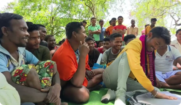
 Estimating and Mapping CFR Potential Action-oriented research on challenges in transforming to community-based forest resource management. This project addresses ecological questions focused on sustainable production and harvest of non-timber forest products.
-
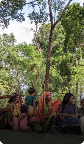
 ESTIMATING AND MAPPING CFRPOTENTIAL Community Forest Resource (CFR) potential mapping focuses on identifying forest areas that could be claimed for collective management by forest-dwelling communities under India’s Forest Rights Act (FRA) of 2006.
-
Estimating and Mapping CFR Potential For Madhya Pradesh, Chhattisgarh, Jharkhand and Maharashtra
-
Estimating and Mapping CFR Potential Action-oriented research on challenges in transforming to community-based forest resource management. This project addresses ecological questions focused on sustainable production and harvest of non-timber forest products.